
Measured detail
Measurements add detail to observations made at the property.
Visual context
Photographs help show the location and appearance of documented conditions.
Organized documentation
Relevant images and measurements are organized with the inspection findings.

THE RIGHT TOOL FOR THE JOB
The right tool for the right question.
Technology supports the inspection. The selected tools help document specific conditions and add information to what the inspector observes.
1 Select
Use the tools appropriate to the selected service, accessible areas, and conditions at the property.
2 Document
Record measurements and images that support the inspection observations.
3 Review
Consider the information alongside visible conditions and explain the relevant findings in the report.
Explore the technology.
Learn what each tool documents, how it is used, and what its limitations mean for your inspection.
Infrared imaging can reveal temperature patterns that may warrant additional investigation, moisture testing, or further evaluation.
High-resolution aerial imagery can improve visibility of roof surfaces, penetrations, flashing areas, and other exterior roof features when weather and airspace conditions permit.
AN EXAMPLE IN PRACTICE
See how the information comes together.
An image or measurement is one part of the inspection record. Its value comes from understanding where it was taken, what it shows, and how it relates to the documented observation.
At the property
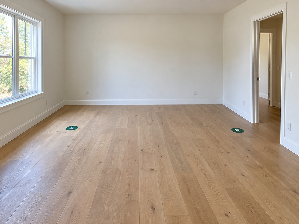
The room photograph identifies location A and reference point R.
Supporting documentation
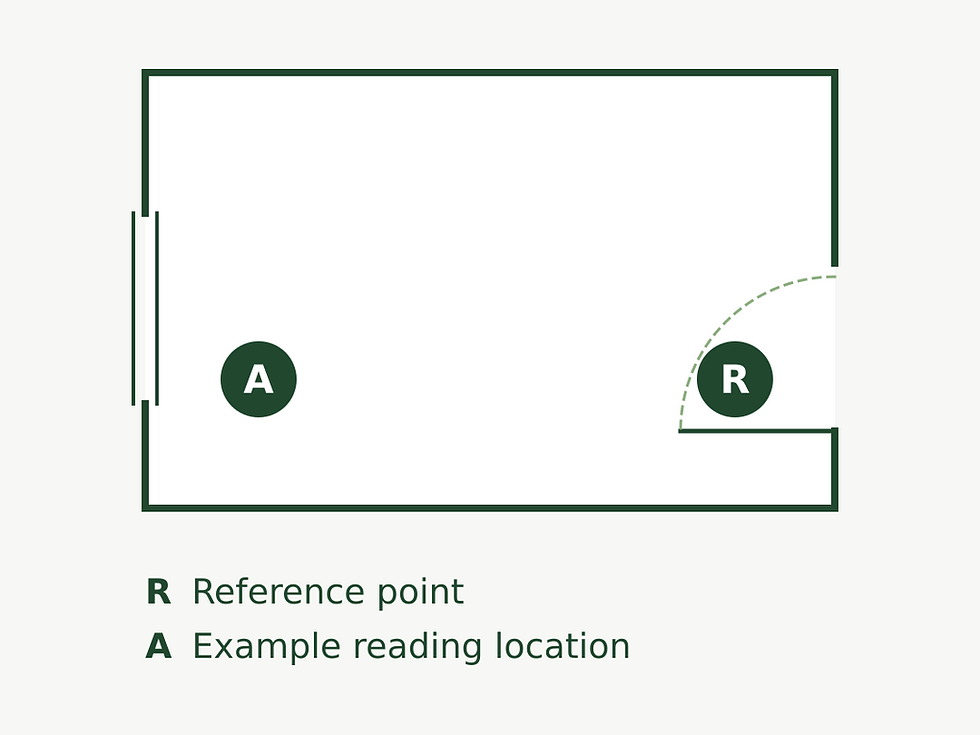
Matching markers connect the photograph to the diagram.
In the report
DEMONSTRATION EXCERPT
Location A corresponds to the marked area in the room photograph. Reference point R provides a common starting point for relative floor elevations. The inspector considers measured variation alongside visible conditions before documenting the observation and any recommended follow-up.
i
What to know about inspection technology.
Technology varies by package and confirmed scope. Use depends on access, weather, site conditions, and safe operation.
Thermal imaging shows surface-temperature patterns, not concealed construction. Foundation elevation and yard topography documentation do not replace an engineering evaluation, boundary survey, or topographic survey. Additional specialist evaluation may be recommended.
HOME INSPECTION PACKAGES
Two levels of inspection. Choose the detail you need.
Start with MULTIVIEW CORE™ for a comprehensive home inspection and foundation elevation documentation, or choose MULTIVIEW 360™ for expanded imaging, aerial documentation, and property measurements.
Not sure which is right for your property? Compare the packages below.
CORE™
Comprehensive inspection + measured foundation reference
360™
Everything in Core + expanded technology and documentation
Serving the Permian Basin.